042525 Spring Geotechnical Seminar - Earn 7 NYS PDHs
Seminar Program Exhibit Table Layout in Seminar Room Exhibit Hallway Table Layout
New this year! Geopier Putting Contest at the 2025 Spring Geotechnical Seminar
Think you can out-putt your colleagues? Join us for the Geopier Putting Contest at the 2025 Spring Geotechnical Seminar! All seminar attendees are welcome to participate — no additional advance registration is required.
- When: During the lunch break at the Spring Geotechnical Seminar on April 25 at TPC River Highlands
- Equipment: Putters will be provided, but you’re welcome to bring your own
- Dress Code: Flat-soled shoes only—no spiked or stiletto-style heels allowed on the green
Located near the lunch buffet, you can do it all! Test your skills on the green while networking, enjoying lunch, and enjoying the beautiful grounds of TPC River Highlands.
The contest will feature a long-distance putting challenge, with winners advancing through successive rounds. Prizes include a $100 golf shop gift card for 1st place and a $50 golf shop gift card for 2nd place. Don’t miss this fun opportunity to compete, connect, and win!
Thank you to our Sponsors:
![]()
![]()


The Connecticut Valley Chapter of the ASCE Geo-Institute is hosting its 2025 Spring Geotechnical Seminar on the topic of Advanced Computing Tools and AI for Geotechnical Applications on Friday, April 25, 2025, at TPC River Highlands, 1 Golf Club Road, Cromwell, CT. Seven (7) New York State Professional Development Hours (NYS PDHs) will be offered. To accommodate time for student scholarship recognition and networking, the Chapter has decided to offer 7 NYS PDHs for this year's Seminar.

Steve Chai, Rocscience
Steve Chai is Geotechnical AI Manager at Rocscience. Steve has been working with Rocscience since 2019. Steve graduated from University of Toronto with a Master's degree in Civil Engineering and has been working at Rocscience developing tools and software for geotechnical engineers. Steve has various professional AI development certifications (IBM, deeplearning.ai, Coursera, and ML-Online certification from Stanford). Steve is thrilled to bring new ideas to tackle challenging task in geotechnical engineering industry.
Large Language Model (LLM) Applications in Geotechnical Engineering
Large Language Model (LLM) is becoming one of the fastest growing technologies in recent years. In many fields such as computer science (coding), finance, science, and medicine, the application of domain specific knowledge with LLM has been in high demand. We have published the findings from LLM development in Geofrontier 2025 with the approaches of integrating domain specific knowledge of the geotechnical engineering field. The approach includes development of LLM to data curation, database management in cloud, to finally providing a platform that enables domain knowledge chatbot with geotechnical engineering applications. In this session we will discuss the chatbot platform, RSInsight, which incorporates the latest development of domain knowledge LLM specific to geotechnical engineering application, and discuss the capabilities of the platform along with the challenges and limitations of the LLM.
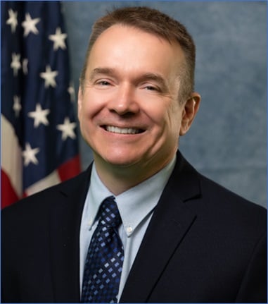
Derrick Dasenbrock, P.E., BC.GE, F.ASCE, Minnesota DOT
Derrick Dasenbrock is the Minnesota Department of Transportations’ geotechnical engineering manager, rejoining MnDOT in February, after 5 years with the Federal Highway Administration’s Resource Center. Derrick’s background is in geotechnical site investigation, lab testing, and more recently, geotechnical data communication, visualization, exchange, and interoperability, partnering with groups including TRB, DFI, and the ASCE Geo-Institute. He currently serves as the Chair of TRB’s Committee on Geotechnical Instrumentation and Modeling, and Co-chair of the GI’s Innovation Committee.
New Developments in Transportation Geotechnics: Digital Geotechnical Tools, Processes, and Workflow
Appropriate site investigations are necessary to properly design geotechnical solutions for transportation projects which address variability, risk, and reliability for successful project efficiency and performance. Today’s geotechnical challenges provide a variety of opportunities for engineers, geologists, and professionals in newer collaborative fields such as GIS, computational modeling, and visualization. As new technologies in site characterization, geotechnical design, and geotechnical construction are introduced, systems for geotechnical data management, collaboration, project workflow, and transportation asset management are also evolving. The presentation provides a look at some new tools, processes, and deliverables in the geotechnical digital workspace including: Measurement While Drilling (MWD), exploration geophysics, the DIGGS XML digital interchange standard, performance-based specifications with field monitoring, digital delivery of project plans (Model as the Legal Document, MALD), geotechnical baseline reports (GBR), and Building Information Modeling and Digital Twins (BIM/DT).
Scott Deaton, Dataforensics
Scott Deaton is President and Founder of Dataforensics, a software company that specializes in helping geo-engineers use technology to improve and streamline their data collection, data management, reporting, analysis and visualization processes. Dataforensics software has been utilizing geotechnical data interchange standards since 2004 and he has been an active member of the DIGGS Technical Committee since 2008. Under his guidance, Dataforensics has been responsible for most of the major implementations of OpenGround Cloud in North America for organizations like the U.S. Army Corps of Engineers, Naval Facilities Command, Airforce Facilities Command, Louisiana DOT, Ohio DOT, New Mexico DOT, WSP/Golder, Wood, ECS, Haley & Aldrich, S&ME, Braun Intertec and many more. He has guided Dataforensics to become the first software vendor that fully supports the import and export of DIGGS data in their software and has pioneered the usage of DIGGS within the OpenGround Cloud environment.
AI-Driven Approach in Digitizing and Managing Historical Subsurface Data
The management and utilization of historical subsurface geotechnical data are crucial for modern transportation infrastructure projects, especially as these projects become larger, more complex, and constrained by limited resources. While advancements in geotechnical data collection and management have led to the development of cloud-based platforms, a significant portion of historical data remains trapped in non-digital formats such as PDFs and images. These static formats hinder the efficient reuse of valuable legacy data, preventing Departments of Transportation (DOTs) and engineering professionals from leveraging decades of accumulated geotechnical knowledge.
To address this challenge, Dataforensics has developed an AI-driven process to automate the digitization and management of historical subsurface data. This approach integrates mature technologies like Optical Character Recognition (OCR), Machine Vision (MV), and Large Language Models (LLMs) alongside with probabilistic algorithms to extract meaningful data from image-based geotechnical logs, tables, and graphs. By focusing on both the spatial positioning and morphological attributes of geotechnical data within these documents, the proposed system facilitates accurate and automated conversion of archived reports into DIGGS (Data Interchange for Geotechnical and GeoEnvironmental Specialists) compliant databases.
The AI-driven system enables efficient processing and organization of historical geotechnical information, transforming it into reusable, structured datasets. This transformation supports the creation of dynamic 3D models, improves predictive modeling, and enhances decision-making for infrastructure projects. Furthermore, by reducing the need for manual data re-entry and minimizing data loss, this approach streamlines workflows for DOT personnel, consultants, and contractors. The solution not only unlocks the potential of historical geotechnical data but also fosters a data-driven culture that improves project outcomes related to constructability, sustainability, durability, and resilience to climate change and geohazards.
The implementation of AI-driven digitization offers a scalable and cost-effective solution to harness the untapped potential of historical geotechnical archives. It ensures that valuable subsurface data can continue to provide critical insights, improving infrastructure planning, design, and maintenance for years to come.
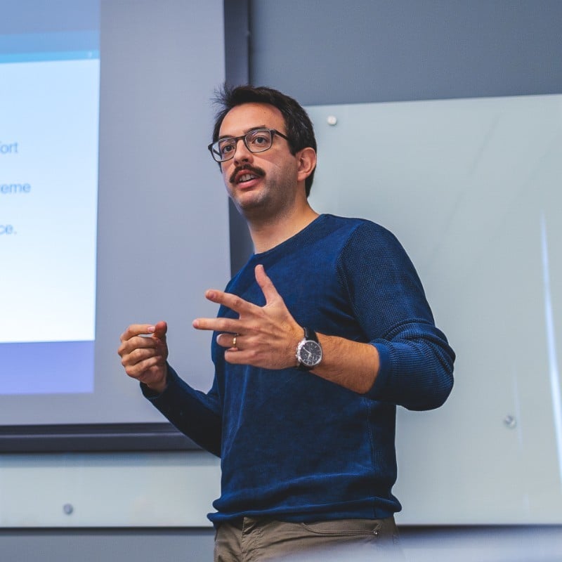
Antonios Vytiniotis, Ph.D., P.E., Geocomp
Dr. Vytiniotis is the Director in the consulting division of Geocomp. With a background in structural and geotechnical engineering, geotechnical earthquake engineering, and numerical analysis, he has worked on numerous projects across more than 20 states and multiple countries, assisting state DOTs, project owners, law firms, utility companies, insurance companies, and developers. He has extensive experience in evaluating MSE wall conditions and slope stability, performing mechanical and flow-through-porous media finite element analyses, and soil-structure interaction. Dr. Vytiniotis is the Senior Vice President of the Boston Society of Civil Engineers, a regional director of the Society of Construction Law North America, and the secretary of the Geo-Institute’s Computational Geotechnics Committee. He is also a member of the American Wind Energy Association (AWEA) committees developing structural and geotechnical standards for the soil-structure interaction of wind turbine foundations. Dr. Vytiniotis has also served as a lecturer at MIT. He currently serves as the Co-Principal Investigator for a corrosion study on MSE walls in Wisconsin, funded by the Wisconsin Department of Transportation.

Seda Gokyer Erbis, Ph.D., P.E., Geocomp
Seda Gokyer Erbis is a Senior Project Manager at Geocomp with 15 years of experience in geotechnical and earthquake engineering. Her expertise includes advanced field and laboratory methods, soil behavior and characterization, and seismic assessments of geostructures. Seda has led innovative research and consulting projects, addressing complex challenges in soil mechanics and seismic risk.
A State-of-the-Art Surface Wave Analysis Technique for Investigating the Root Cause of a Cracking Slab: A Case History
In an approximately 80,000 square-foot office building, a slab-on-grade exhibited differential movements and cracking. The low access due to low ceiling clearance within the building interior prevented any substantial geotechnical drilling. The authors conducted an investigation program involving a floor elevation survey, a state-of-the-art surface wave geophysical survey, exterior borings, localized hand augers, and laboratory testing to assess the root causes of the cracks.
Approximately 1,200 linear feet of geophysical survey lines were performed within the building’s interior which provided continuous subsurface conditions data in both east-west and north-south directions. The floor elevation survey revealed progressively higher differentials, up to 3.5 inches, from east to the west side of the building. The geophysical survey identified a progressively thicker layer of soft clay from east to west, correlating well with the measured differential movements.
The laboratory tests indicated that the clay layer exhibited a small but measurable volume change due to wetting as well as potential for creep. The forensic investigation identified the heave associated with moisture variation and the settlement of the clay layer as well as creep with time as the main cause of the cracking.

Frederick Hedberg, Esq., P.E. of Robinson & Cole LLP
Frederick E. Hedberg is a partner with the law firm of Robinson & Cole LLP and a member of the firm’s Construction Law Group. He has more than 25 years of experience handling complex construction and commercial litigation and transactional matters for his clients. In addition to his legal experience, prior to becoming an attorney, Fred practiced as a licensed civil and structural engineer for over 10 years, thereby gaining an in-depth knowledge and understanding of all phases of a construction project. Fred’s clients include public, institutional and private owners, developers, contractors, design professionals, sureties, financial institutions and insurance companies. Fred represents clients in federal and state courts and before arbitration panels and administrative governmental tribunals on all types of project-related claims and disputes.
The Ethics of Artificial Intelligence in Engineering
This presentation will discuss ethical challenges and concerns related to the emergence and integration of AI in engineering, and ways to navigate ethical AI in engineering practice. It will review legal considerations such as the duty of confidentiality, ownership principles and disclaimers in the use of AI and it will examine the ethical use of AI in the context of various professional codes of ethics and case studies.

Shengmin Luo, Ph.D., A.M.ASCE, Western New England University
Shengmin Luo is an Assistant Professor in the Department of Civil and Environmental Engineering at Western New England University, specializing in Geotechnical Engineering. His research interests include unsaturated soil mechanics, surface science in earthen materials, data science application in geotechnical engineering. He is an associate editor of Vadose Zone Journal. He has worked on several research projects funded by National Science Foundation, China National Petroleum Corporation, Hess Corporation, and Massachusetts Clean Energy Center. He is an author or co-author on 35 journal articles published in a variety of peer-reviewed journals, including Journal of Geotechnical and Geoenvironmental Engineering, Journal of the Mechanics and Physics of Solids, and Rock Mechanics and Rock Engineering, etc. He received his Ph.D. from University of Massachusetts Amherst in 2019 and his Bachelor degree from Wuhan University of Technology in 2014.
Cross-Scale Mechanical Characterization of Rock via Big Data-Based Nanoindentation
Sedimentary rocks are generally known as multi-scale and multi-phase earthen materials that have interparticle cementation and possess both frictional and cohesive behaviors, and hence it is very challenging to characterize and interpret their mechanical behaviors. Traditional macroscopic testing can yield sparse mechanical measurements of the rock mass as a composite, but no insights can be obtained on the properties of individual constituent phases that may undergo dynamic changes during and after subsurface engineering processes such as geo-energy exploitation and erosion. This paper presents a novel nanoindentation approach that obtains massive data via a large tested volume to extract the mechanical properties (stiffness and strength) of both the individual mineral phases and the bulk rock. Massive data collected on a randomly selected, representative surface with an extended indentation depth of ~8–10 µm were statistically processed to extract the mechanical properties of mechanically distinct phases at varying scales, and all processed data were then re-integrated into a mechanical model. The big data-based nanoindentation technique enables a cross-scale characterization of sedimentary rocks as well as other heterogeneous composite materials (e.g., concretes) consisting of a homogeneous matrix with embedded solid inclusions. This method has also been successfully implemented as a screening and optimization protocol for assessing subsurface rock-fluid interactions occurring in subsurface engineering processes.
Nick Machairas, Ph.D., Haley & Aldrich- biography coming soon
Practical Generative AI Applications in Geotechnical Design
Artificial intelligence continues to reshape industries, but how exactly can it benefit geotechnical engineering practitioners? H&A’s Dr. Nick Machairas will deliver an insightful presentation highlighting the latest advancements in AI and exploring practical applications specifically tailored for geotechnical engineering practitioners. Drawing on real-world experiences and data from a $2 billion mega-project in Orange County, Dr. Machairas will show how generative AI can enhance subsurface analysis, engineering design, decision-making, and project execution. If you’re involved in large-scale infrastructure or specialized engineering projects, you’ll get actionable insights on how to identify and implement high-value AI solutions in your workplace.
Juan Pestana, Sc.D., P.E., Geosyntec - biography coming soon
Challenges and Opportunities for Numerical Modeling in Geotechnical Engineering in the Time of Machine Learning and AI
In recent years, the rapid evolution of machine learning (ML) and artificial intelligence (AI) has created new possibilities and challenges for numerical modeling in geotechnical engineering. While traditional numerical approaches remain essential for understanding complex material behavior, the integration of AI-driven techniques offers transformative opportunities for efficiency, accuracy, and predictive capabilities. However, these advances bring significant hurdles, including data quality, interpretability of ML models, and the adaptability of classical numerical methods.
This presentation explores the intersection of numerical modeling and AI in geotechnical engineering, highlighting practical applications. We address critical challenges, including the lack of standardized datasets, the computational demands of hybrid models, and the importance of domain expertise in guiding AI applications. At the same time, we uncover opportunities, such as leveraging AI for material parameter estimation, real-time monitoring, and enhanced model calibration.
By bridging traditional geotechnical methods with cutting-edge AI tools, this presentation aims to inspire a forward-looking perspective, fostering collaboration among engineers, data scientists, and researchers to unlock the full potential of these techniques.
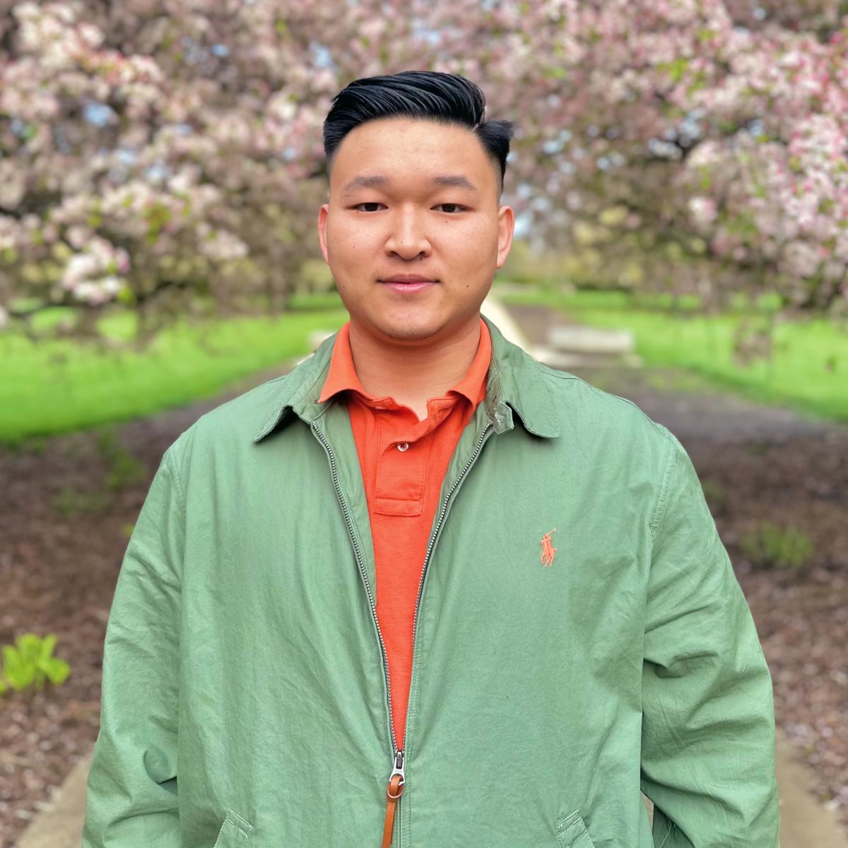
Xin Wei, Ph.D., University of Michigan
Dr. Xin Wei is a postdoctoral researcher at the University of Michigan, supported by the Eric and Wendy Schmidt AI in Science Postdoctoral Fellowship. He earned his Ph.D. in geotechnical engineering from Shanghai Jiao Tong University, including a period as a visiting scholar at the University of Illinois Urbana-Champaign. His research interests include risk, reliability, and resilience analysis of natural hazards, leveraging interdisciplinary approaches such as remote sensing, geospatial modeling, and both data-driven and physics-based methods. During the postdoctoral fellowship, he is exploring integrated AI-physics solutions to understand the impact of past landslides on communities and to develop risk assessment tools aimed at mitigating future impacts.
Advancing Regional Landslide Risk Assessment with Integrated AI-Physics Solutions
Landslides are increasing in severity, duration, and frequency due to climate change, global population growth, and urbanization. More concerning is the rising occurrence of multiple-occurrence landslides triggered even by single rainfall events. This highlights an urgent need for regional-scale landslide susceptibility and risk assessments to identify areas of high susceptibility and risk. To advance regional landslide risk assessment, this study makes several contributions: (1) Few studies have combined the advantages of data-driven and physics-based models for susceptibility mapping. We propose an AI-Physics integrated spatial susceptibility mapping model, integrating infinite slope stability analysis and logistic regression. (2) A pixel-to-slope transformation method is introduced, where slope units are extracted through hydrological analysis and AI algorithms. The mean and maximum pixel susceptibilities within each slope unit are analyzed and compared to characterize slope susceptibility. (3) To address the potential loss of accuracy after transformation, a calibration method based on the standard deviation of susceptibility is proposed. Field verification is recommended when the standard deviation within a slope unit exceeds a certain threshold. (4) Population and economic vulnerabilities are quantitatively analyzed, and a comprehensive vulnerability assessment matrix is proposed. A risk assessment matrix based on susceptibility and vulnerability is then constructed. (5) A deep learning-based method for landslide temporal susceptibility prediction is proposed, which integrates convolutional neural networks and recurrent neural networks. Typical landslide-prone regions in the Three Gorges Reservoir, China, are used as the study area. The findings reveal that the proposed Integrated AI-Physics Solutions significantly enhance the accuracy, generalization ability, and practicality of landslide susceptibility and risk assessment. This study provides an easy-to-implement and effective framework for regional landslide risk assessment.
TPC River Highlands, 1 Golf Club Road, Cromwell, CT 06416
Exhibitor Table (0 of 14 left) - $600 - SOLD OUT Exhibit Table Layout in Seminar Room Exhibit Hallway Table Layout
Each exhibit table includes 2 exhibitors. Once an exhibit table is purchased, additional exhibitors may register separately for $150 each. No NYS PDH’s are included with exhibitor table or additional exhibitor registrations.
Table Sponsor (1 available - Sold Out) - $750
This sponsorship level includes your company logo on table placards, podium mentions, and 1 attendee registration.
Student Sponsor (2 available - Sold Out) - $500
This sponsorship level includes your company logo in the program with acknowledgment and podium mentions.
Program Sponsor (2 available - Sold Out) - $350
This sponsorship includes prominent placement of your company logo in the printed program for the seminar.


